Contact us
Advanced Unmanned & Robotic Systems for Next-Generation Applications
Aegean Robotics
Leveraging Unmanned & Robotic Systems
Leveraging unmanned and robotic technologies for intelligence, surveillance, automation, and enhanced overall protection.
Operational Efficiency
Automation of inspections, aerial works, and monitoring processes through unmanned and robotic systems, improving accuracy, reducing operational costs, and enhancing safety.
Engineered Reliability
Robust systems built to maintain consistent performance, durability, and operational stability in diverse environments.
End-to-End Robotics & Unmanned System Solutions for Demanding Operations
Protect and optimize your operations with integrated robotic and unmanned systems. We deliver advanced autonomy, real-time data, and intelligent solutions tailored to your infrastructure and security needs.From critical inspections and geospatial mapping to defense and hazardous environments, our systems ensure precision, reliability, and operational excellence.

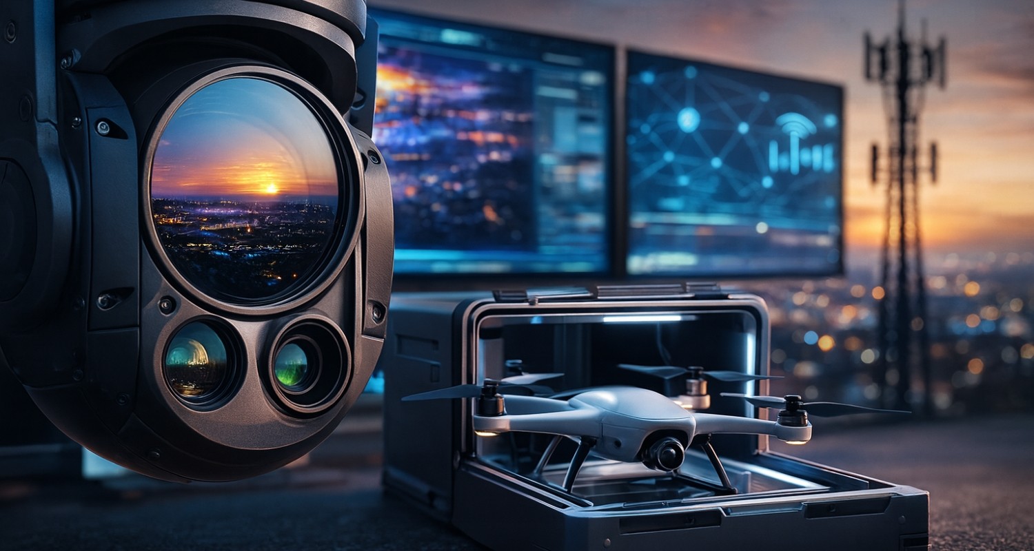
Unmanned and Robotic Systems
Unmanned and Robotic systems designed for national defense and security operations, as well as critical infrastructure protection, delivering high operational performance, durability, and reliability.

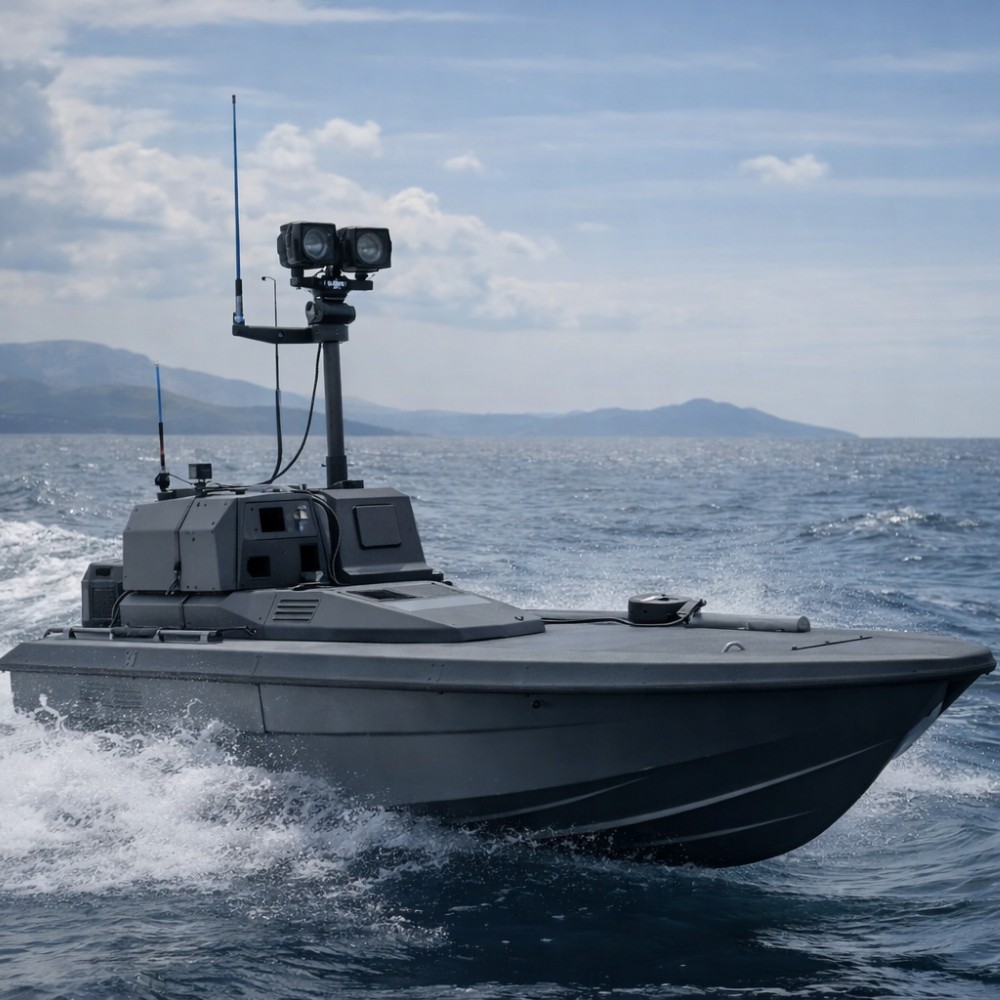
Defence and Security Applications
ISR missions, border surveillance, and operational awareness enhanced through advanced sensors and real-time data for defense and security requirements.

Unmanned Vehicle Countermeasure Systems
Systems for detecting, tracking, identifying, and mitigating unmanned threats, ensuring protection of operational activities and critical facilities.

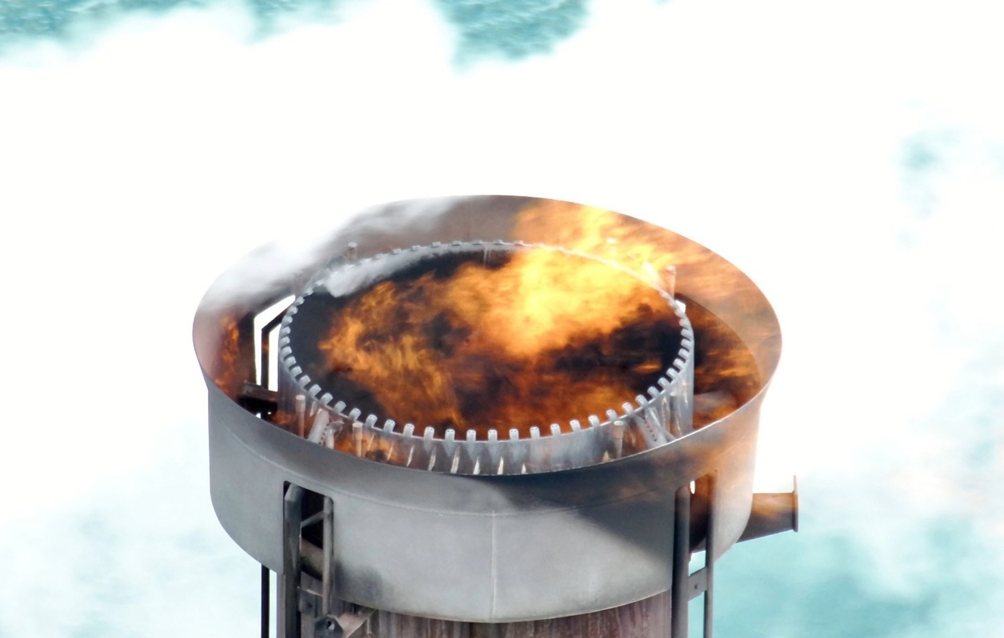
Infrastructure Inspections
Automated inspections of networks, facilities, and critical infrastructure using safe and precise data collection methods.

Integration and Custom Engineering
Custom hardware/software, specialized payloads, and full system integration tailored to specific operational and technical requirements.

Communication and Live Streaming Systems
Secure datalinks, real-time video transmission, and C2 integration enabling reliable and secure operational communication.

EO/IR and Smart Sensors
EO/IR sensors, day/night imaging, and multispectral payloads providing precise surveillance, detection, and real-time critical data acquisition.
Geospatial Surveying and Mapping
Photogrammetry, 3D modeling, and geospatial analysis for mapping, technical projects, and decision-support workflows.